
I am a firm believer in gathering as much information as possible before I start any task. I am probably one of the few men on the planet that actually reads the directions BEFORE attempting to assemble anything and I tend to study them to the point that I do not have to reference them again. When it comes to routes, areas of operations, plans, etc., I follow and adhere to the same mindset. The more I study, the more comfortable I become and the more comfortable I am, the better my ability to perform and/or react to unexpected changes. Naturally, the limiting factor is always time between concept and execution, which dictates the amount of time allowed for any recon.
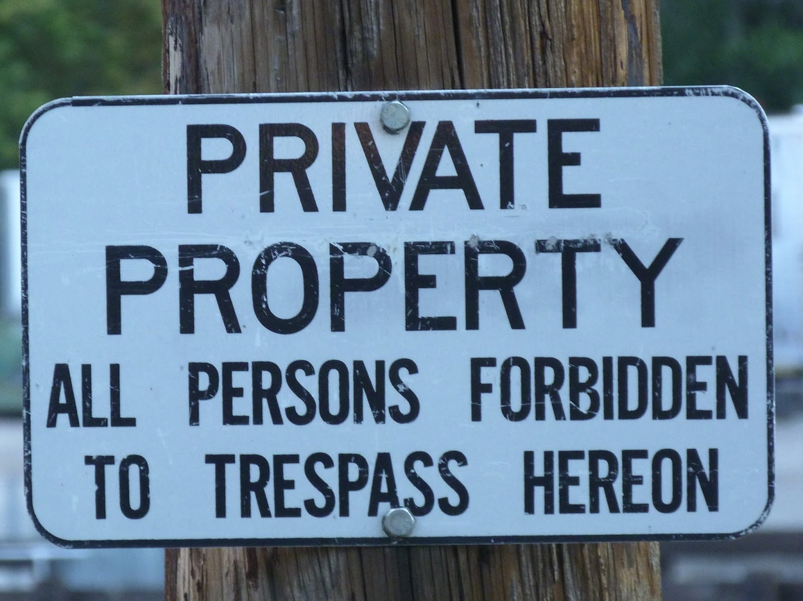
Since the end of the world is not upon us and I had plenty of time to kick this concept around, I had a decent amount of time available to study the route. On that same note (not being the end of the world), I had several real world considerations that I had to take into account concerning my route and supplemental emergency planning to satisfy my wife’s apprehension concerning execution. The original concept and recon in my head and on a map went something like this “Bugout from Point A (my house) to Point B (Steve’s location), jump in a canoe and Proceed to Point C (takeout location) and go overland to Point D (my bugout location)”. Simple, concise concept with nothing but straight lines between all points, well, all except the river leg. Piece of cake, right? Yep, not so much. Even post-SHTF the best route will not always be a straight line between Point A and Point B. In today’s world, I had to break things down even more and modify my route to account for private property (which is taken very seriously where I live).
Taking those straight lines, I broke everything down into legs and began to study maps, satellite photos, and property records for each leg. In some cases, I broke legs of the route into sub-legs for more detailed, “bird’s eye view” analysis. Ideally, I would go overland the entire route but that simply was not going to be possible unless I wanted to spend a few years getting permission from property owners to cross or camp on their property (not ideal for OPSEC anyway). Also, my intent post-SHTF would be to avoid civilization as much as possible, so I wanted to do that on this exercise as well. Luckily, we have large tracts of timberland around where I live and getting permission from those companies to hike/camp on their property is relatively easy. After a couple of weeks studying maps (yes, weeks) and making notes, I had three routes for each of the overland legs (six routes total) plotted and potential camp sites for all legs. None of the overland routes were straight anymore but I was satisfied that any of the three routes would suffice in a post-SHTF bugout (avoiding communities, staying off of roads, ample natural water supply, etc).
With my routes marked and maps/notes in hand, I started conducting vehicle recons of each route in order to verify what I had seen on screen/paper. This may sound like it should not take long, but it was almost as much work as studying the maps to get the routes laid out. Basically, it entailed driving on public roads to the points that I intended to leave the roadway, skirting around overland portions of the routes, finding the points where I would have to take to the roadways again, and driving the portions of the route where I would be forced to stick to the roads walking to the next point I could go overland. During all of this, I checked, logged, and marked the map for quality of cellular reception for real world emergency purposes. I also acquired the GPS coordinates for all entry/ exit points and validated camp sites. As luck would have it, I managed to find a route for the first leg (Leg 1) of the trip that requires approximately 12 miles of “road time” by utilizing timber company land and a State forest but it adds approximately 8 miles to the leg. I dubbed this route as “Primary Leg 1” and the other two routes as “Alt Leg 1” and “Last Resort Leg 1”. For the third leg of the trip (Leg 3), I selected a route that requires approximately 5 miles of “road time” and labeled the routes similar to Leg 1. It is important to note here, that in a real bugout situation, I would go with Primary Leg 1 and Alt Leg 3 as the routes for me and my family, provided all things remain the same. The reason I selected a different route for Leg 3 to exercise is I would have to cross private property on Alt Leg 3.
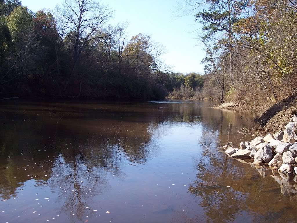
On the river leg (Leg 2), I spent a few days traveling the river in a bass boat with maps and notes. My intent was to scout the entire river leg for navigational purposes. Even though I have spent a lot of my life on this river, I still found plenty of confusing turns/bends so I marked them all on the map and logged GPS coordinates for each. I scouted potential campsites along the river, marked primary and alternate sites on the map, and logged GPS coordinates. I marked every boat landing, public river access point, and bridge on the map and logged coordinates. I emplaced one cache at the approximate midpoint of Leg 2 for “test” purposes and marked it on the map accordingly. Leg 2 is where the majority of my concerns are, so I spent a little extra time on the ground recon for it.
With the initial ground recons completed, I went back to my maps. I had seen most of the ground I intended to cover but I still needed to update the maps I intended to take on the trip. I also had to build a timeline of each route I intended to take for my wife to keep at home. Other than Leg 2, I had identified one deep creek crossing in Leg 1 and two deep creek crossings in Leg 3 (will require me to swim) as the most hazardous parts of each leg. In building the timelines for my wife, I marked each leg on her map with corresponding GPS coordinates (entry/exit points, campsites) and the date/timeframe I should be at each campsite in case I lost communications (this way she could drive to that point and “check” on me for the overland legs). For Leg 2, I marked all campsites with GPS coordinates and expected date/timeframes, but I included GPS coordinates for public access points along the river along with dates I should pass those points (in case they needed to start searching for me). Sections of each route on my wife’s map were marked with known or suspected blackout areas (comms drops) as well. Once everything was completed, I went through everything with my wife in order to make certain that she had a clear understanding of where/when I should be somewhere and when to start worrying for real. We covered the communications plan and emergency extraction plan(s) for each leg in detail, as well.
I marked a lot of locations with GPS coordinates, but I do not intend to navigate utilizing a GPS simply because there is a strong possibility that GPS will not be available post-SHTF. For safety reasons, I will have a GPS in my bag so that I can reference it if necessary (med-evac). I will also carry a cell-phone and iPad with cellular capability so that I can check-in at prescribed times with my wife and hopefully update the Log while traveling but I will utilize a paper map to navigate. We established communications check-in times (with +/- times) for certain days, hazard crossings, and the end of each day on Leg 2 where I will update her with my current location and any adjustments to the timeline if necessary. I logged Leg 2 of my trip with the authorities that patrol the river for an added “just in case” (this is actually required by law in my area but rarely adhered to when you intend to camp along the river).
Writing about the recon and emergency planning really do not do it justice. Naturally, I had to add some elements to a normal recon in order to satisfy my wife but the more detailed recon you can do for your intended bugout routes, the better things will be when/if you have to exercise your bugout plan for real (especially on foot).


2 comments
Another great post, Maj! I really appreciate you taking the time to detail everything for us.
I have a few questions. First, where do you find property records to see if land is privately owned? Next, how do you go about getting permission from companies to hike/camp on their land? And I’m surprised a company would give you permission to do so; just seems easier for them to always say ‘no’.
And lastly, how do you plan to get your gear across the creeks where you’ll have to swim across?
I’m really impressed with thoroughness of your planning. It’s like a military operation. You’re doing a great job. Have you figured out exactly when you’re setting out?
Where I live, property records or plats are available online. Depending on where you live, they may be a little outdated but give you an idea where to start looking. As for the timber companies, they generally have a permit or access procedure for hiking and or camping. There are three big timber companies in my area that I have had to get permission from – one allows no camping and no fires, the other two just made me sign that I was responsible if I started a fire.
As for getting equipment across, I plan to make a “poncho raft” to float everything across.
Right now the plan is to head out mid-March.